
One common question I get is how to find places to go with my cat. This is an excellent question, and its often too long to explain without an entire blog post. So please continue reading on to find out more!
What to know before heading out?
Driving Distance
The distance, or time it will take for you to get there, whether you are driving by car or taking transit, is an important factor especially for cats. Some cats are totally comfortable and relaxed for long drives, but some tend to get stressed or anxious, and a long drive may not be feasible.
For Teddy, we often go to local areas for exploring, which is around 15-20 minutes drive. So for the first 15-20 minutes he is totally calm and happy. For longer drives, he often gets restless after about 30 minutes, and I will need to plan for a pit-stop if he starts meowing too much. At the pit-stop, he often will find a nice spot to do a pee, before getting back into the car and continuing our journey.

To learn more about car travel with cats: Car Setup for Cats
Popularity
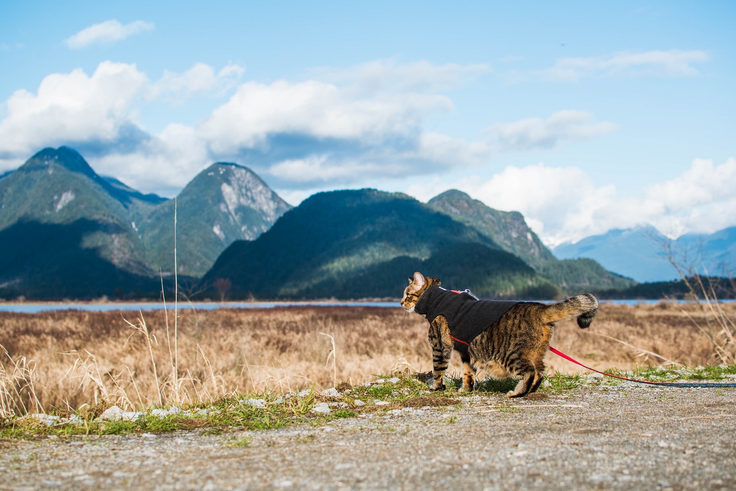
An important factor, especially with cat adventures, is how many people, kids, and dogs will be there. Some cats are not totally comfortable with loud and busy areas, and this may not be the most suitable area for your cat. You can also plan to carry your cat around in their backpack, if they are comfortable there.
Pet Friendly or Leash Laws
Another important factor, is if pets are allowed in this location. Even though a cat in a backpack is mostly inconspicuous, its best not to break these rules in the first place. You can call and ask if a cat in a backpack is acceptable so you won’t be turned around when you arrive.
The other part to this is leash laws. We never go to any off leash areas, because that’s where the most off leash dogs will be. There can sometimes be off leash dogs even in leash required areas, which is unfortunate, but there should be less, and you can always request them to leash their dogs.

Hikes: difficulty, distance, elevation
Hiking with cats is another level of cat adventures. Its often more structured, as you have a destination in mind, and therefore a little more challenging with a cat, who likes to do what they like to do. However, it is totally possible and enjoyable with your cat, if you are prepared for it.
For hikes, I usually stick to easy or intermediate level, shorter distance, and lower elevation changes. This is because you will move slower with a cat, and your backpack will be much heavier especially if you end up carrying them. Its best to stick to easier trails. Once you are more confident in hiking with your cat, you can move onto more challenging trails!
If you are going on a hike, you should also do the proper preparation, including having the correct equipment, research for trail conditions, informing someone of your plans, and having proper navigation such as offline maps in AllTrails (see below).
Reviews and photos
I like to read reviews of a location to see other people’s experiences. Some could be very useful, if someone has noted that the area is currently closed, for example. The reviews sometimes mention how busy it is as well.
I personally also like to look at photos so I know what to expect, and if I should bring my camera or just use my phone. Some people prefer to be surprised!

Resources for trip planning
AllTrails
AllTrails is great for finding trails in an area, and they will often tell you if there are closures or anything to look out for. The reviews and photos are also very informative. You can navigate with a trail, and see where you are at while hiking. With a Pro subscription ($29.99 per year), you can download offline maps to your phone, which is essential for hikes where there is no cell service. I use AllTrails for navigation primarily while hiking, and it gives me a lot of comfort in knowing where exactly I am at all times.
Google Maps
Google Maps is what I use primarily for car navigation, but it is also a great place to look for new places to go. There are reviews and photos, which you can look through to see if this location interests you. I usually move around the maps and look at any parks in the area, and then look through the reviews and photos. You can also download offline navigation maps to your phone for driving instructions without cell service.

Vancouver Specific: Vancouver Trails
Vancouver Trails is a great resource for researching hiking trails in the Vancouver area. It has more detailed information than AllTrails, because it is specific to this area. It tells you the best months to go there, if its accessible via transit, dog leash rules, and other useful information to know before heading out. I often use Vancouver Trails and AllTrails together to research a trail before I go.
Ask Around!
The best information comes from someone who’s just been to those locations! If you follow any travellers on instagram, or join local facebook groups, you can often see where people have been, and also ask how it was.


How often do you and Teddy go out and explore? Do you keep a consistency on how long your trips are or do you just go with the flow?
LikeLike